
As I write this I'm flying to Hobart before meeting up with the rest of the team to head out to the Warra wet eucalypt forest site in Southern Tasmania for a week. This is the sixth TERN Auscover field campaign and the first one down in Tasmania. The Warra Long Term Ecological Research (LTER) site is about 60 km west south west of Hobart and is situated between the Huon and Weld Rivers. About half of the 15,900 ha site is State Forest with the remainder designated as a World Heritage Area. Parts of this forest have remained unburnt for over 150 years, but other sites have been burnt in more recent times providing researchers with a living fire chronosequence data set to understand the recruitment, growth and succession in these ecosystems. I'm also informed it's a haven for leeches. Great.
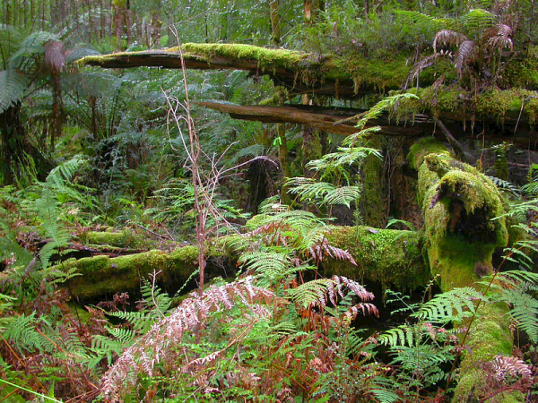
(Site photo from Pip Turner, UTAS)
Once we arrive on site tomorrow, we'll start the field campaign where we measure a variety of forest structural parameters and provide support for the concurrent Airborne Hyper-spectral flights. The field team included three from the University of Queensland, three from the University of Tasmania, three from CSIRO and another three from Forestry Tasmania.
The plan is to complete several vegetation and ground transects where we characterise the vegetation cover from ground to canopy over a 1ha site, collect terrestrial laser scanner data to build a 3D model of the forest and collect species, height, basal area and leaf samples to understand and link the structural and physiological processes to airborne and satellite imagery.
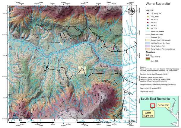
(Site map by Iain Clarke, UTAS)
Keen an eye out over the next week for updates each day. We'll be out of mobile range during the day (so none of my usual live tweeting) but I'll endeavour to provide an update here each day. Also keep your eye on my SPOT tracker locations through the week which can be seen here: http://goo.gl/kifccM