
Today I helped organise a hands-on workshop and field visit covering some of the spatial mapping and monitoring tools available to rangeland managers in the context of farm planning, development and management. Held the day before the start of the 18th Biennial Conference of the Australian Rangeland Society in Alice Springs, it was supported by: TERN/AusCover (who paid for the Bus hire and Lunch), NT Department of Land Resource Management, NRM Spatial Information Hub, ACRIS and Queensland Department of Science, Information Technology and Innovation.
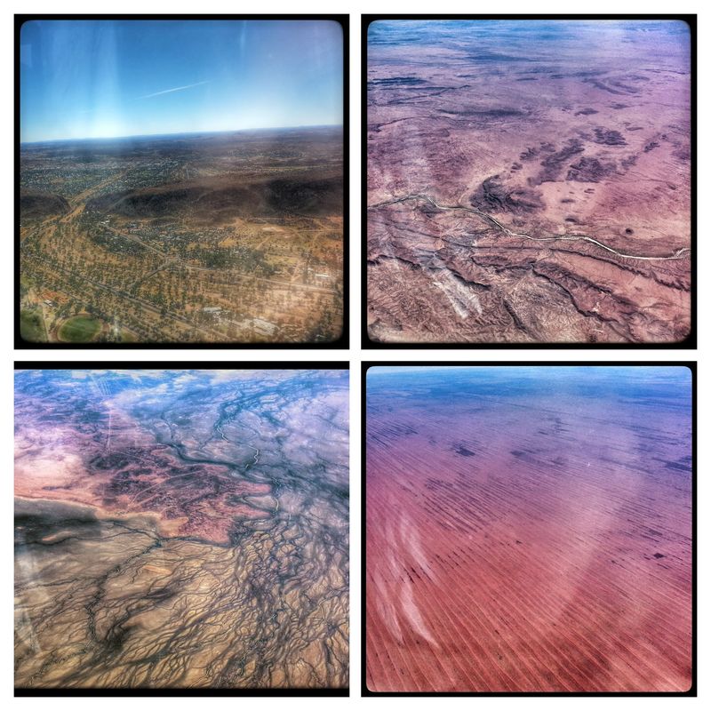
We were oversubscribed so the 25 seater bus was supplemented by five 4WDs to cater for the 35+ people attending. The Australian rangelands are pretty complex systems, driven by episodic rainfall, animals and fire and modified by changing species composition (particularly Buffel grass) and this was all to apparent on the flight across, where I photographed all these systems out the window once the cloud cleared around Chinchilla:
We started with an indoors hands-on session at the Arid Zone Research Institute covering the synergies, strengths and monitoring requirements in each of the participating organisations. We also looked at how the various products and tools work, how they can be accessed and used both digitally and as paper maps, and how downloadable reports can be generated from online systems operating remotely.

We then traveld to Old Man Plains Research Station to demonstrate the mapping and monitoring tools in the context of property planning, development and management. Over three stops we looked at:
- Field data collection and groundcover interpretation

- Linking monitoring sites and historical photos and climate information to satellite image products of fire, water and cover, and how that information can be used to help understanding and assessment of the pasture resource; and

- The effect of woody vegetation state, change and response to fire on monitoring programs, and how some of our current national woody products work in the acacia + bright soil rangeland environments.

We had plenty of time to run through where these products work, and more importantly don't work, what their limitations are, and got some great feedback on improvements we could make in terms of delivery and extension. Thanks to a fantastic range of participants from across the country who were ready to engage, we all learnt a lot from each other. If you want to see where we went or some of the data we were playing with grab the Google Earth kmz from the day. I'm now looking forward to helping with a cut down version of this trip tomorrow as part of the "Technology and diversification in pastoralism - living off the rangelands" field trip tomorrow. Stay tuned.
.