
A clear day!
It's going to be a good day for the flight so we head out to a quarry near the site to set up the ground calibration targets.
It's going to be a good day for the flight so we head out to a quarry near the site to set up the ground calibration targets.
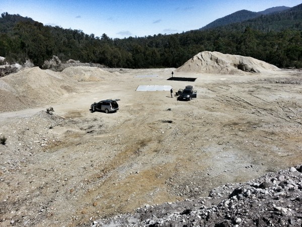
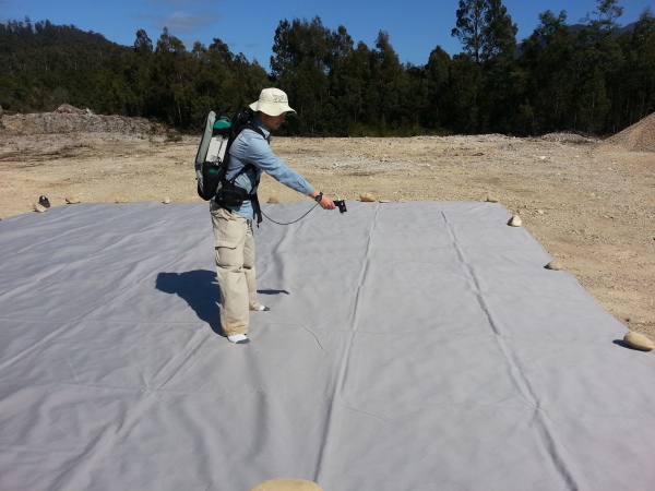
These are large fabric tarps with nice uniform reflectance which can be used to calibrate or check the calibration of the airborne hyperspectral imagery. Once laid out (which was a little tricky due to the wind - these things are like sails) we get started measuring their reflectance with the ASD calibrated to reflectance with the lab panel.
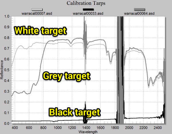
This is a snapshot of the spectra we're collecting. The black target has a very low reflectance, the white is pretty bright across all the bands and the grey looks grey in the visible but bright in the infrared. The really noisy bits are the water absobtion bands where hardly any light in these wavelengths from the sun reaches the ground where we are measuring.
Understanding the atmospheric conditions are critical for correcting the imagery. We take measurements using two microtops sun photometers throughout the airborne campaign to get estimates of aerosol optical depth, water vapor and ozone.
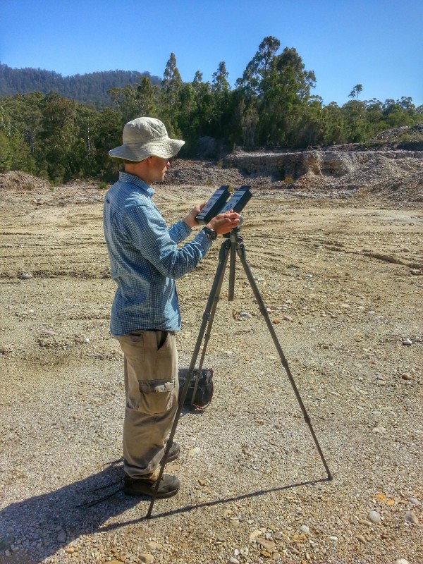
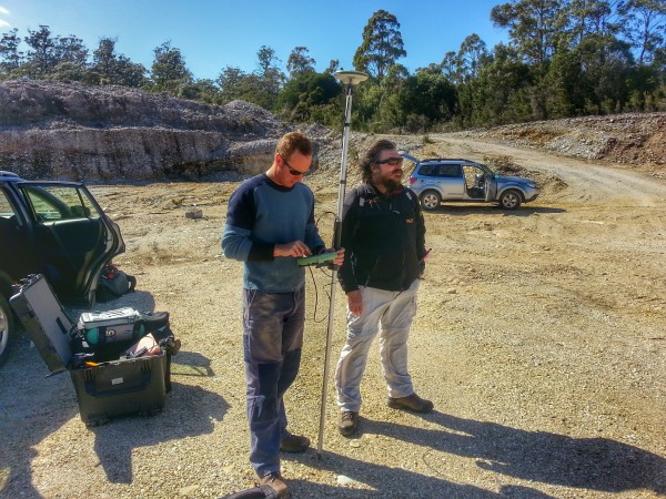
The registration of the imagery is also critical. Using DGPS referenced to a known survey mark the locations of the field targets are precisely surveyed.
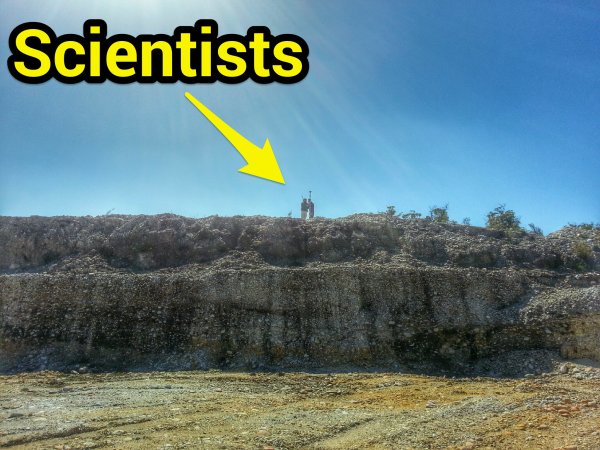
Mind you, once everything is set up there is some spare time. Here, some scientists take a walk up to a ridge to look at the view below...
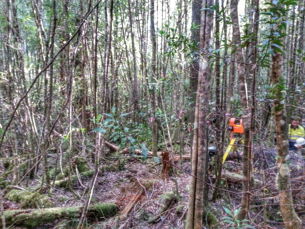
Unfortunately, there were some issues with the plane collecting the imagery so it had to abort after a couple of hours. So we'll be back again tomorrow to do it all again. To fill in the afternoon we went laser scanning over one of the long term fire and log decay sites. It was one of the most difficult sites I've had to survey due to the density of vegetation and fallen logs.
We finally finished about 7:30pm and after downloading data and charging equipment we had a small birthday celebration BBQ for Iain (with a custom made marsmallow chocolate biscuit sandwich). Last day tomorrow. Another flight and another full site survey. Its going to be big...