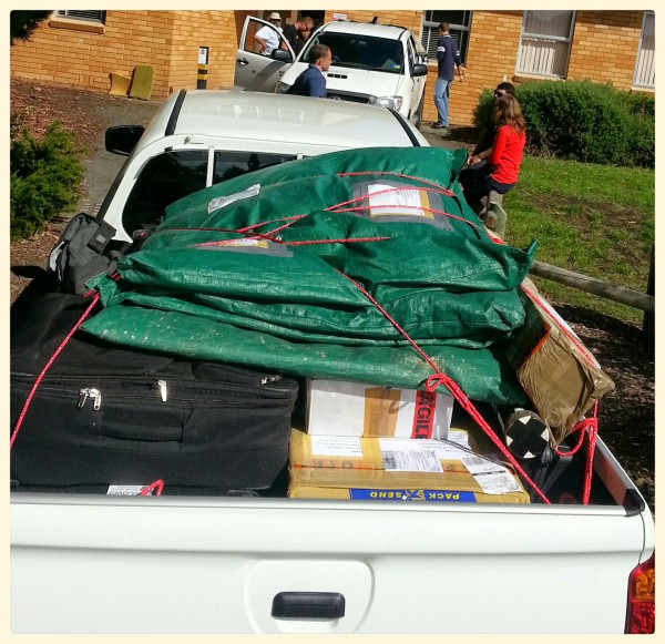
A mid-morning start after spending some time tracking down some missing luggage and loading up the utes with calibration tarps, two terrestrial laser scanners (Riegl and DWEL) and a stack of field equipment.

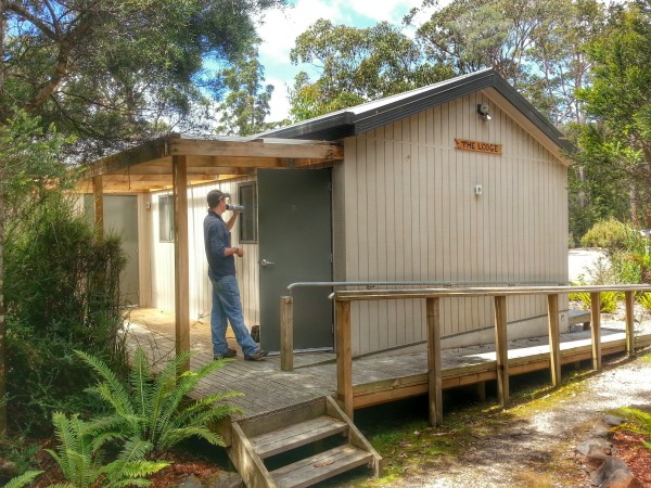
We headed down the road towards Geeveston to meet up with the Forestry Tasmania team and continued on to the Tahune Airwalk lodge which will be our base for the next few days.

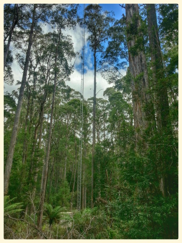
The Warra flux tower is pretty impressive. Standing above the surrounding 60m eucalypts.
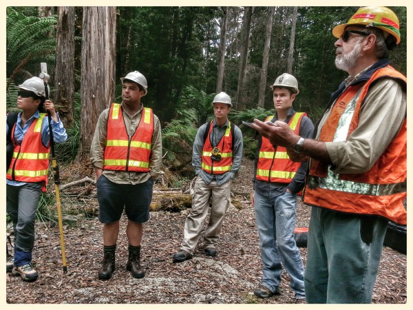
We sorted out the gear and after an onsite safety briefing got stuck into sampling.

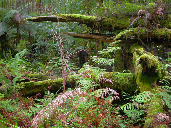
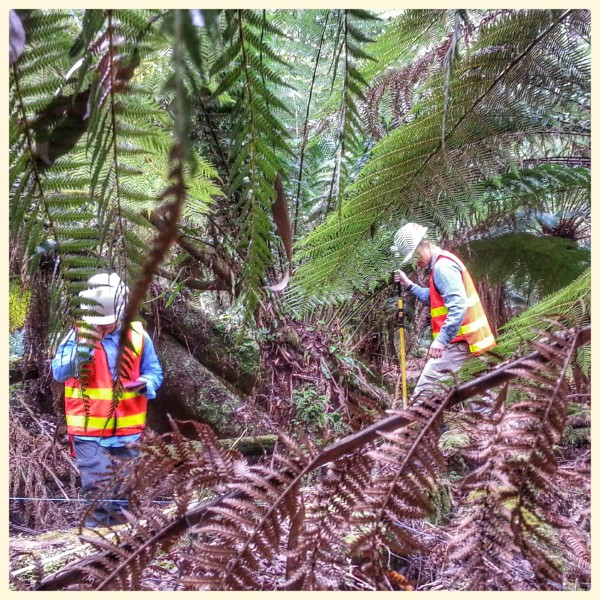
In contrast to the sparser Auscover sites, the vegetation here is pretty dense with a huge quantity of coarse woody debris in places making the transect based sampling slow work.

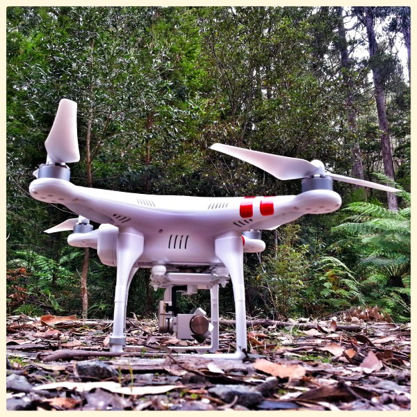
We didn't get to fire up any of the TLS instruments before we ran out of light (wait until tomorrow...) but one of the UAV's made a brief appearence and a quick treetop trip to see how stable the platform is in these environments. I'm looking forward to seeing the video of the ascent through the canopy.

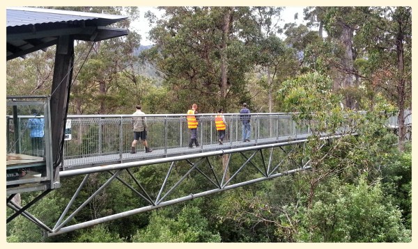
With light fading, we made a quick detour to the awesome Tahune Airwalk on the way back to camp. A great attraction but also a really good way to see exactly what the trees we are sampling on the ground look like from above.

As I write this I'm flying to Hobart before meeting up with the rest of the team to head out to the Warra wet eucalypt forest site in Southern Tasmania for a week. This is the sixth TERN Auscover field campaign and the first one down in Tasmania. The Warra Long Term Ecological Research (LTER) site is about 60 km west south west of Hobart and is situated between the Huon and Weld Rivers. About half of the 15,900 ha site is State Forest with the remainder designated as a World Heritage Area. Parts of this forest have remained unburnt for over 150 years, but other sites have been burnt in more recent times providing researchers with a living fire chronosequence data set to understand the recruitment, growth and succession in these ecosystems. I'm also informed it's a haven for leeches. Great.

(Site photo from Pip Turner, UTAS)

Once we arrive on site tomorrow, we'll start the field campaign where we measure a variety of forest structural parameters and provide support for the concurrent Airborne Hyper-spectral flights. The field team included three from the University of Queensland, three from the University of Tasmania, three from CSIRO and another three from Forestry Tasmania.

The plan is to complete several vegetation and ground transects where we characterise the vegetation cover from ground to canopy over a 1ha site, collect terrestrial laser scanner data to build a 3D model of the forest and collect species, height, basal area and leaf samples to understand and link the structural and physiological processes to airborne and satellite imagery.

(Site map by Iain Clarke, UTAS)

Keen an eye out over the next week for updates each day. We'll be out of mobile range during the day (so none of my usual live tweeting) but I'll endeavour to provide an update here each day. Also keep your eye on my SPOT tracker locations through the week which can be seen here: http://goo.gl/kifccM